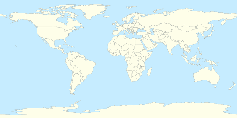
فائل:World location map.svg

Size of this PNG preview of this SVG file: ۸۰۰ × ۴۰۰ پکسلز. دوجے ریزولوشنز: ۳۲۰ × ۱۶۰ پکسلز | ۶۴۰ × ۳۲۰ پکسلز | ۱,۰۲۴ × ۵۱۲ پکسلز | ۱,۲۸۰ × ۶۴۰ پکسلز | ۲,۵۶۰ × ۱,۲۸۰ پکسلز ۔
اصل فائل (ایس وی جی فائل، پکسل:۸۰۰ × ۴۰۰، فائل سائز: ۵۹۵ کلوبائٹ)
فائل دی تریخ
فائل نو اس ویلے دی حالت وچ ویکھن واسطے تاریخ/ویلے تے کلک کرو۔
| تریخ تے ویلہ | نکی مورت | پاسے | ورتن والا | تیپّݨی کرو | |
|---|---|---|---|---|---|
| موجودہ | ۱۹:۳۳, ۱۱ جولائی ۲۰۱۴ |  | ۸۰۰ × ۴۰۰ (۵۹۵ کلوبائٹ) | Mîḵā'ēl (SK) | same file, better change-descr.: 1. Cyprus is closer to Turkey coast (adjusted projection, coords from File:Cyprus location map.svg); 2. internal changes (Cyprus, Sudan and South Sudan), style-based highlighting again possible (see the original note) |
| ۱۸:۲۷, ۷ جولائی ۲۰۱۴ |  | ۸۰۰ × ۴۰۰ (۵۹۵ کلوبائٹ) | Mîḵā'ēl (SK) | * ''Visible change:'' the '''Cyprus''' island is now in the same projection as the rest of the map (source of GPS data: File:Cyprus location map.svg), apparently moving closer to the coast of Turkey. * ''Invisible changes:'' the countries of '''Cy... | |
| ۰۱:۲۲, ۶ اپریل ۲۰۱۴ |  | ۸۰۰ × ۴۰۰ (۵۹۳ کلوبائٹ) | RicHard-59 | Sudan divided; Island of Cyprus was missing | |
| ۲۳:۵۳, ۱۸ اپریل ۲۰۱۰ |  | ۸۰۰ × ۴۰۰ (۵۸۵ کلوبائٹ) | STyx | {{Information |Description={{en|1=?}} |Source=? |Author=? |Date= |Permission= |other_versions= }} == {{int:filedesc}} == {{Information |Description={{en}}Blank world map for location map templates (en:Equirectangular projection). {{fr}}Une carte vier |
فائل دی ورتوں
اس فائل نال جڑیا کوئی صفحہ نئیں۔
فائل ویاپک ورتوں
ایہہ دوجے وکیاں ایس فائل نوں ورتدے نیں –
- cs.wikipedia.org تے ورتوں
- Etna
- Vesuv
- Mount Rainier
- Grand Slam (tenis)
- Metropolitní opera
- Šablona:LocMap Svět
- Avačinská sopka
- Lavička Václava Havla
- Calenzana
- Wikipedista:BíláVrána/Pískoviště
- Olympijské hry mládeže
- Mistrovství světa ve fotbale klubů 2015
- Mistrovství světa ve fotbale klubů 2016
- Seznam zemětřesení v roce 2017
- Ulawun
- Seznam zemětřesení v roce 2019
- Seznam zemětřesení v roce 2018
- Repertoárové divadlo San Jose
- Seznam zemětřesení v roce 2020
- Taal (sopka)
- Decade Volcanoes
- Colima (sopka)
- Seznam zemětřesení v roce 2021
- Seznam zemětřesení v roce 2022
- Seznam zemětřesení v roce 2023
- de.wikipedia.org تے ورتوں
- de.wikivoyage.org تے ورتوں
- el.wikipedia.org تے ورتوں
- en.wikipedia.org تے ورتوں
- es.wikipedia.org تے ورتوں
- he.wikipedia.org تے ورتوں
- ik.wikipedia.org تے ورتوں
- ko.wikipedia.org تے ورتوں
- lv.wikipedia.org تے ورتوں
- mn.wikipedia.org تے ورتوں
ایس فائل دا ویکھو ہور جگت ورتن .
