فائل:NasaBenelux.jpg
ایس وکھالے دا ناپ: ۳۷۴ × ۵۹۸ پکسلز۔ دوجے ریزولوشنز: ۱۵۰ × ۲۴۰ پکسلز | ۳۰۰ × ۴۸۰ پکسلز | ۴۸۰ × ۷۶۸ پکسلز | ۱,۲۵۸ × ۲,۰۱۳ پکسلز ۔
اصل فائل (۱,۲۵۸ × ۲,۰۱۳ پکسلز, فائل حجم: ۱.۳۸ میگابائٹ, MIME type: image/jpeg)
خلاصہ
| تفصیل |
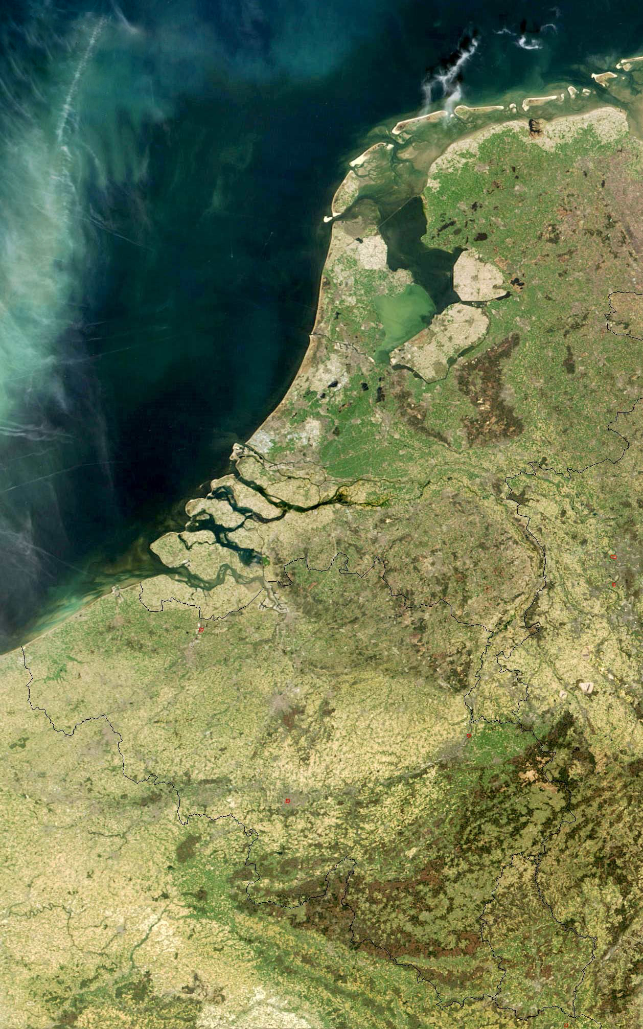
English: Satellite photo of Belgium, Luxembourg, and the Netherlands from NASA
Nederlands: Satellietfoto van België, Nederland en Luxemburg
Oorspronkelijke url: visibleearth.nasa.gov/images/5331/LowCountries.A2003105.1030.250m.jpg Gebruik vrij en toegestaan met verwijzing naar nl:Nasa Visible Earth Ed Stevenhagen 3 aug 2005 19:04 (CEST) |
| سروت |
url: visibleearth.nasa.gov/images/5331/LowCountries.A2003105.1030.250m.jpg |
| لکھاری | NASA |

|
Attribution information, such as the author's name, e-mail, website, or signature, that was once visible in the image itself has been moved into the image metadata and/or image description page. This makes the image easier to reuse and more language-neutral, and makes the text easier to process and search for. Commons discourages placing visible author information in images.
|
لائسنس –
| This file is in the public domain in the United States because it was solely created by NASA. NASA copyright policy states that "NASA material is not protected by copyright unless noted". (See Template:PD-USGov, NASA copyright policy page or JPL Image Use Policy.) | ||
 |
Warnings:
|
پہلا اپلوڈ دا ریکارڈ
The original description page was here. All following user names refer to nl.wikipedia.
- 2005-08-03 17:04 Ed Stevenhagen 1408×2052×8 (465271 bytes) Satellietfoto van België, Nederland en Luxemburg Ooorspronkelijke url: visibleearth.nasa.gov/images/5331/LowCountries.A2003105.1030.250m.jpg Gebruik vrij en toegestaan met verwijzing naar [[Nasa Visible Earth]] ~~~~
فائل دی تریخ
فائل نو اس ویلے دی حالت وچ ویکھن واسطے تاریخ/ویلے تے کلک کرو۔
| تریخ تے ویلہ | نکی مورت | پاسے | ورتن والا | تیپّݨی کرو | |
|---|---|---|---|---|---|
| موجودہ | ۰۲:۳۹, ۲۲ اپریل ۲۰۱۲ | | ۱,۲۵۸ × ۲,۰۱۳ (۱.۳۸ میگابائٹ) | Centpacrr | wmr |
| ۲۳:۵۱, ۱۴ اگست ۲۰۰۹ |  | ۱,۲۵۸ × ۲,۰۱۳ (۶۷۴ کلوبائٹ) | Tekstman | removed watermark | |
| ۰۱:۱۵, ۸ مارچ ۲۰۰۸ |  | ۱,۴۰۸ × ۲,۰۵۲ (۴۵۴ کلوبائٹ) | File Upload Bot (Magnus Manske) | {{BotMoveToCommons|nl.wikipedia}} {{Information |Description={{nl|Satellietfoto van België, Nederland en Luxemburg Oorspronkelijke url: visibleearth.nasa.gov/images/5331/LowCountries.A2003105.1030.250m.jpg Gebruik vrij en toegestaan met verwijzing naa |
فائل دی ورتوں
تھلے دتے گئے 1 صفحے اس فائل نال جُڑدے نیں
فائل ویاپک ورتوں
ایہہ دوجے وکیاں ایس فائل نوں ورتدے نیں –
- ar.wikipedia.org تے ورتوں
- el.wikipedia.org تے ورتوں
- en.wikipedia.org تے ورتوں
- Low Countries
- Wikipedia:WikiProject Former countries/Holy Roman Empire task force
- User talk:Esoxid
- User talk:Bentoro
- User talk:Moswento
- Wikipedia:Graphics Lab/Photography workshop/Eight Requests/Archive/2012
- User talk:Jethro B
- User talk:Jesus Presley/Archive
- User talk:PhnomPencil/Archive2
- User talk:RexRowan/Archive 5
- User talk:Horai 551
- User talk:Sahara4u/Archive 2
- User:NiederlandeFW
- User talk:Wer900/Archive1
- User talk:GDibyendu/archive4
- Wikipedia:Articles for improvement/Archives/2013 schedule
- User talk:Revolution1221
- User talk:Kenanwang
- User talk:Toshio Yamaguchi/Archive 5
- User talk:Ecpiandy/Archive 10
- User talk:Mafh01
- User talk:ITTechWriterA
- User talk:WaitingForConnection
- User talk:Simplysavvy
- User talk:Jayron32/Archive26
- User talk:Tolly4bolly/Archive 11
- User talk:Andrewman327/Archive 2
- User talk:Ypnypn/Archive 4
- User talk:Ryan Vesey/Archive 26
- User talk:CorporateM/Archive 14
- User talk:Northamerica1000/Archive 11
- User talk:Presidentman/Archives/ 12
- User talk:GiantSnowman/2014
- User talk:Evad37/Archive 3
- User talk:Rcsprinter123/Archives/34
- User talk:Soni/Archive 10
- User talk:Pratyya Ghosh/Archives/17 (2014-01)
- User talk:Vacation9/Archives/2014/January
- User talk:EuroCarGT/Archives/2014/January
- User talk:Flat Out/Archives/2014/January
- User talk:Joe Decker/Archive 14
- User talk:Razr Nation/2014/1
- User talk:ChrisGualtieri/Archive 9
- User talk:Titodutta/Archive 44
- User talk:Miszatomic/Archives/2014 1
- User talk:CopyEdit Bliss
- User talk:Go Phightins!/Archive 28
- User talk:Buffbills7701/Archive 5
ایس فائل دا ویکھو ہور جگت ورتن .