فائل:Japan Kinki Region large.png
ایس وکھالے دا ناپ: ۵۲۶ × ۶۰۰ پکسلز۔ دوجے ریزولوشنز: ۲۱۰ × ۲۴۰ پکسلز | ۴۲۱ × ۴۸۰ پکسلز | ۶۷۳ × ۷۶۸ پکسلز | ۸۹۸ × ۱,۰۲۴ پکسلز | ۱,۳۹۷ × ۱,۵۹۳ پکسلز ۔
اصل فائل (۱,۳۹۷ × ۱,۵۹۳ پکسلز, فائل حجم: ۷۶ کلوبائٹ, MIME type: image/png)
خلاصہ
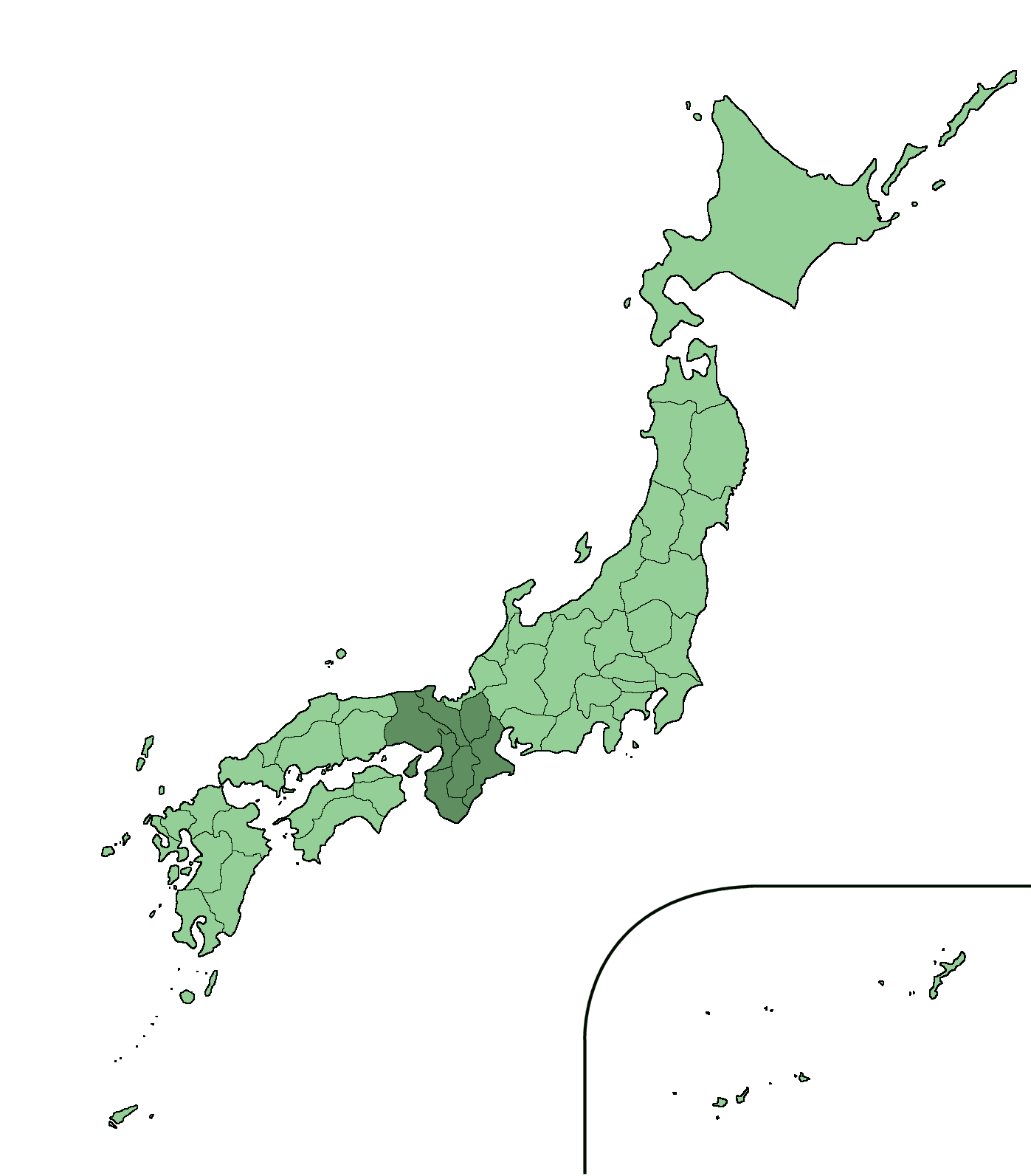
| تفصیل | Large size map of Japan with Kinki region highlighted, self made but originally based on a japanese mapbook. |
| تریخ | ۲۲ اکتوبر ۲۰۰۵ (original upload date) |
| سروت | No machine-readable source provided. Own work assumed (based on copyright claims). |
| لکھاری | No machine-readable author provided. Ningyou assumed (based on copyright claims). |
لائسنس –
| میں، اس کم دے کاپیرائٹ دا مالک، اس کم نوں لوکاں واسطے دیندا واں۔ اے سارے جگ واسطے لاگو اے۔ کج ملکاں چ قانونی طور تے اے ممکن نئیں اے؛ اگر انج ای اے ے: میں ہر کسے نوں اس کم نوں کسے وی مقصد واسطے ورتن دا بغیر کسے شرط دے حق دیندا واں، اگر اوہ قانون دے خلاف نا ہوۓ۔ |
derivative works
Derivative works of this file: Japan Kinki Region large trans.png
فائل دی تریخ
فائل نو اس ویلے دی حالت وچ ویکھن واسطے تاریخ/ویلے تے کلک کرو۔
| تریخ تے ویلہ | نکی مورت | پاسے | ورتن والا | تیپّݨی کرو | |
|---|---|---|---|---|---|
| موجودہ | ۰۶:۰۴, ۱۶ فروری ۲۰۱۹ | | ۱,۳۹۷ × ۱,۵۹۳ (۷۶ کلوبائٹ) | TAKASUGI Shinji | copied from File:Japan Kinki Region large.png: the old version doesn’t have a boundary between Shimane and Yamaguchi. |
| ۲۰:۲۸, ۲۲ اکتوبر ۲۰۰۵ |  | ۱,۳۹۷ × ۱,۵۹۳ (۷۸ کلوبائٹ) | Ningyou | Large size map of Japan with Kinki region highlighted, self made but originally based on a japanese mapbook. Category:Maps of Japan Category:Maps of Japanese prefectures |
فائل دی ورتوں
اس فائل نال جڑیا کوئی صفحہ نئیں۔
فائل ویاپک ورتوں
ایہہ دوجے وکیاں ایس فائل نوں ورتدے نیں –
- de.wikipedia.org تے ورتوں
- en.wikipedia.org تے ورتوں
- en.wiktionary.org تے ورتوں
- fi.wikipedia.org تے ورتوں
- hu.wikipedia.org تے ورتوں
- ja.wiktionary.org تے ورتوں
- mk.wikipedia.org تے ورتوں
- pam.wikipedia.org تے ورتوں
- su.wikipedia.org تے ورتوں
- zh.wikipedia.org تے ورتوں