فائل:BlankMap-World 1959.svg

Size of this PNG preview of this SVG file: ۸۰۰ × ۴۰۶ پکسلز. دوجے ریزولوشنز: ۳۲۰ × ۱۶۲ پکسلز | ۶۴۰ × ۳۲۵ پکسلز | ۱,۰۲۴ × ۵۲۰ پکسلز | ۱,۲۸۰ × ۶۵۰ پکسلز | ۲,۵۶۰ × ۱,۲۹۹ پکسلز | ۹۴۰ × ۴۷۷ پکسلز ۔
اصل فائل (ایس وی جی فائل، پکسل:۹۴۰ × ۴۷۷، فائل سائز: ۷۹۴ کلوبائٹ)
خلاصہ
| تفصیل |
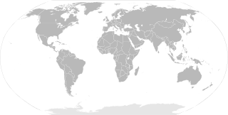
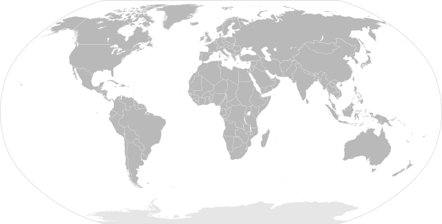
English: SVG Blank map of the world showing 1959 borders
Français : Carte muette du monde montrant les frontières de 1959, au format SVG. |
||
| تریخ | |||
| سروت |
|
||
| لکھاری | Sémhur | ||
| دوجے ورژن |
Derivative works of this file: | ||
| کس دے ناں (required by the license) | © Sémhur / Wikimedia Commons / | ||
| SVG |
|
||
| Graphic Lab |

| Blank maps of the world for historical use | |
| pre-1800 | |
|
19th century | |
|
20th century | |
|
1902 · 1912 · 1914 · WWI · Aug 1918 · 1920 · 1921 · 1924 · 1926 · 1935 · 1937 · Mar 1938 · Oct 1938 · Mar 1939 · Oct 1939 · WWII · Nov 1942 · May 1945 · 1957 · 1959 · 1962 · 1968 · 1970 · 1985 · 1990 · 1993 | |
|
21st century | |
| (this template: · view · discuss ) | |
.PNG)
لائسنس –
میں، اس کم دے کاپیرائٹ دا مالک، اس کم نوں اس لائسنس دے مطابق چھاپدا واں:
| کاپی حق چھڈیا: آرٹ دا ایہ کم کھلا اے؛ تسیں اینوں ونڈ سکدے او یا بدل سکدے او Free Art License دیاں شرطاں نال۔ تسیں ایدے لسنس دی اک ادھارن Copyleft Attitude site تے Copyleft Attitude site تے ہور سائیٹاں تے لب سکدے او |
This file is licensed under the Creative Commons Attribution-Share Alike 4.0 International, 3.0 Unported, 2.5 Generic, 2.0 Generic and 1.0 Generic license.
- تہانوں کھلھ اے:
- حصہ کرنا – کاپی، ونڈنا تے کم بھیجنا
- فیر رلانا – کم نوں فٹ کرنا
- تھلے دتیاں شرطاں نال:
- کس دے ناں – تسیں لازمی ایس کم دے بناں والے بارے دسو جنج اونے آکھیا اے یا جنج لسنس چ آکھیا گیا ہے۔
- اکو جہا شئیر کرو۔ – اگر تسیں بدلدے یا ایس کم تے بناندے تے بنن والے کم نوں اینج دے لسنس نال ای ونڈو گے۔
تسیں اپنی مرضی دا لائسنس چݨ سکدے اوہ۔
فائل دی تریخ
فائل نو اس ویلے دی حالت وچ ویکھن واسطے تاریخ/ویلے تے کلک کرو۔
| تریخ تے ویلہ | نکی مورت | پاسے | ورتن والا | تیپّݨی کرو | |
|---|---|---|---|---|---|
| موجودہ | ۱۵:۲۰, ۲ جون ۲۰۱۴ | | ۹۴۰ × ۴۷۷ (۷۹۴ کلوبائٹ) | Sémhur | Valid SVG ; separate southern Ryukyu Island from Japan |
| ۱۳:۱۴, ۲۵ مئی ۲۰۰۸ |  | ۹۴۰ × ۴۷۷ (۷۹۳ کلوبائٹ) | Sémhur | Group Pakistan and East-Pakistan (not yet Bangladesh in 1959) | |
| ۲۲:۱۶, ۱۴ اپریل ۲۰۰۸ |  | ۹۴۰ × ۴۷۷ (۷۹۳ کلوبائٹ) | Sémhur | the bitmap... one more time | |
| ۲۲:۱۰, ۱۴ اپریل ۲۰۰۸ |  | ۹۴۰ × ۴۷۷ (۷۹۴ کلوبائٹ) | Sémhur | {{Information |Description= {{en|SVG Blank map of the world showing 1959 borders.}} {{fr|Carte muette du monde montrant les frontières de 1959, au format SVG.}} |Source= * Image:BlankMap-World6.svg by {{u|Canuckguy}}, under licence Public Domain * [ |
فائل دی ورتوں
اس فائل نال جڑیا کوئی صفحہ نئیں۔
فائل ویاپک ورتوں
ایہہ دوجے وکیاں ایس فائل نوں ورتدے نیں –
- en.wikipedia.org تے ورتوں
- fr.wikipedia.org تے ورتوں
- ko.wikipedia.org تے ورتوں
- nl.wikipedia.org تے ورتوں