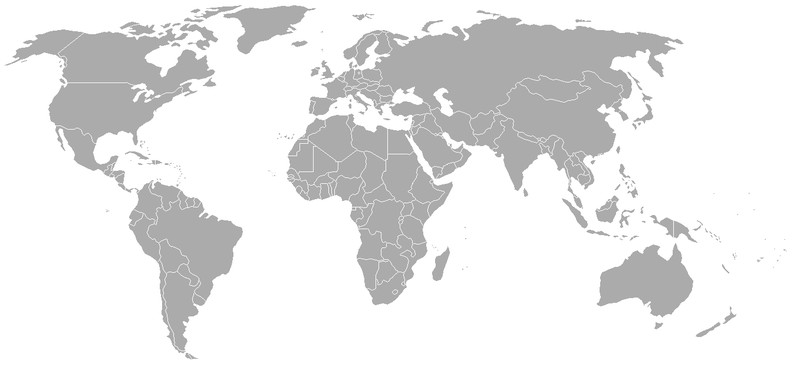
فائل:BlankMap-World-1962.png

ایس وکھالے دا ناپ: ۸۰۰ × ۳۷۰ پکسلز۔ دوجے ریزولوشنز: ۳۲۰ × ۱۴۸ پکسلز | ۶۴۰ × ۲۹۶ پکسلز | ۱,۳۵۷ × ۶۲۸ پکسلز ۔
اصل فائل (۱,۳۵۷ × ۶۲۸ پکسلز, فائل حجم: ۴۸ کلوبائٹ, MIME type: image/png)
فائل دی تریخ
فائل نو اس ویلے دی حالت وچ ویکھن واسطے تاریخ/ویلے تے کلک کرو۔
| تریخ تے ویلہ | نکی مورت | پاسے | ورتن والا | تیپّݨی کرو | |
|---|---|---|---|---|---|
| موجودہ | ۰۷:۴۹, ۲۴ ستمبر ۲۰۰۷ |  | ۱,۳۵۷ × ۶۲۸ (۴۸ کلوبائٹ) | Hoshie | put the (N/S) Yemen boundary in white due to the fact the boundaries in southern Saudi Arabia have been disputed, undemarcated, or undisclosed over the years. |
| ۰۵:۴۳, ۶ اگست ۲۰۰۷ |  | ۱,۳۵۷ × ۶۲۸ (۴۸ کلوبائٹ) | Hoshie | Added Cabinda; under same lic. as original. | |
| ۱۵:۲۷, ۲۸ جنوری ۲۰۰۷ |  | ۱,۳۵۷ × ۶۲۸ (۴۸ کلوبائٹ) | Hoshie | added Ifni, a Spanish enclave. | |
| ۰۴:۵۴, ۶ جنوری ۲۰۰۷ |  | ۱,۳۵۷ × ۶۲۸ (۴۸ کلوبائٹ) | Roke~commonswiki | Blank world map with 1962 borders. This is accurate between December 19, 1961 (India takes over the Portugese colony of Goa) and July 1, 1962 (Belgian colony of Ruanda-Urundi separated into Rwanda and Burundi.) See [[w:List of national border changes sinc |
فائل دی ورتوں
اس فائل نال جڑیا کوئی صفحہ نئیں۔
فائل ویاپک ورتوں
ایہہ دوجے وکیاں ایس فائل نوں ورتدے نیں –
- ca.wikipedia.org تے ورتوں
- es.wikipedia.org تے ورتوں
- fr.wikipedia.org تے ورتوں
- nl.wikipedia.org تے ورتوں

