فائل:Tehri Garhwal zoomed in.jpg

اس توں وڈی مورت موجود نہیں۔
Tehri_Garhwal_zoomed_in.jpg (۵۱۴ × ۳۵۰ پکسلز, فائل حجم: ۷۰ کلوبائٹ, MIME type: image/jpeg)
خلاصہ
| تفصیل |
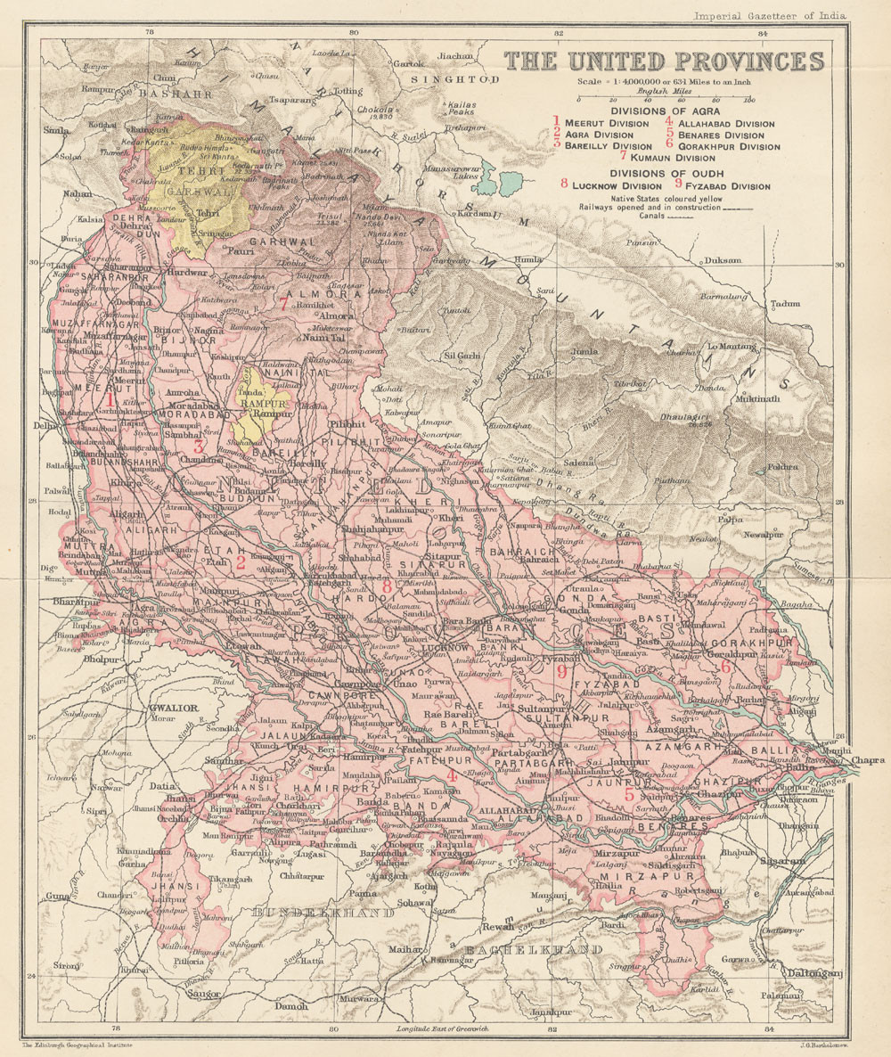
English: This is the map of Tehri Garhwal state made by British cartographer John G Bartholomew |
| تریخ | ۱۹۰۷ - ۱۹۰۹ |
| سروت | https://dsal.uchicago.edu/maps/gazetteer/images/gazetteer_V24_pg250.jpg |
| لکھاری | John G Bartholomew |
لائسنس –
The author died in 1920, so this work is in the public domain in its country of origin and other countries and areas where the copyright term is the author's life plus 100 years or fewer. | |
| ایہ فائل دے بارے چ دس اے جے اے کاپی حف دیاں روکاں توں کھلی اے تے نالدے رلدے حقاں توں وی۔ | |
فائل دی تریخ
فائل نو اس ویلے دی حالت وچ ویکھن واسطے تاریخ/ویلے تے کلک کرو۔
| تریخ تے ویلہ | نکی مورت | پاسے | ورتن والا | تیپّݨی کرو | |
|---|---|---|---|---|---|
| موجودہ | ۱۷:۱۹, ۲۳ جولائی ۲۰۲۰ | | ۵۱۴ × ۳۵۰ (۷۰ کلوبائٹ) | Abhishek0831996 | |
| ۱۷:۰۰, ۲۳ جولائی ۲۰۲۰ |  | ۳۶۰ × ۳۱۶ (۴۴ کلوبائٹ) | Abhishek0831996 | Uploaded a work by John G Bartholomew from https://dsal.uchicago.edu/maps/gazetteer/images/gazetteer_V24_pg250.jpg with UploadWizard |
فائل دی ورتوں
تھلے دتے گئے 1 صفحے اس فائل نال جُڑدے نیں
فائل ویاپک ورتوں
ایہہ دوجے وکیاں ایس فائل نوں ورتدے نیں –
- bn.wikipedia.org تے ورتوں
- de.wikipedia.org تے ورتوں
- en.wikipedia.org تے ورتوں
- hi.wikipedia.org تے ورتوں
- id.wikipedia.org تے ورتوں
- ja.wikipedia.org تے ورتوں
- ne.wikipedia.org تے ورتوں
- ta.wikipedia.org تے ورتوں
- uk.wikipedia.org تے ورتوں
- ur.wikipedia.org تے ورتوں