فائل:India satellite image.png

ایس وکھالے دا ناپ: ۸۰۰ × ۵۹۲ پکسلز۔ دوجے ریزولوشنز: ۳۲۰ × ۲۳۷ پکسلز | ۶۴۰ × ۴۷۴ پکسلز | ۱,۰۲۴ × ۷۵۸ پکسلز | ۱,۲۷۸ × ۹۴۶ پکسلز ۔
اصل فائل (۱,۲۷۸ × ۹۴۶ پکسلز, فائل حجم: ۱.۵۱ میگابائٹ, MIME type: image/png)
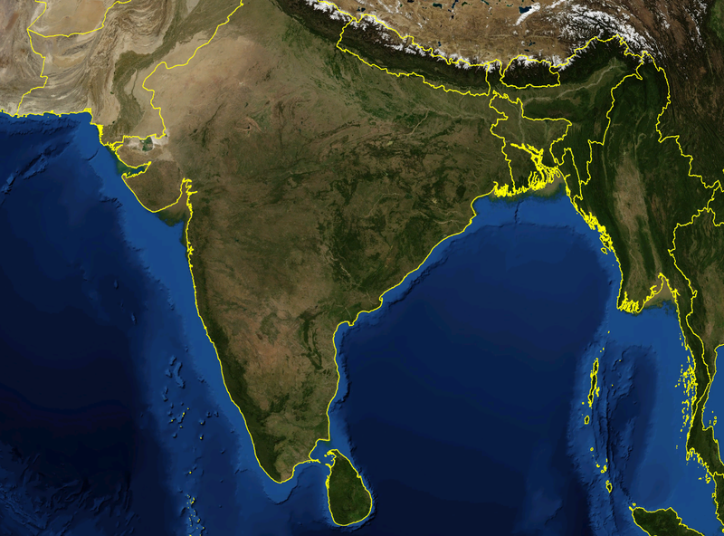
| تفصیل | Satellite image of India and surrounding regions | |||
| تریخ | ||||
| سروت | آپݨا کم | |||
| لکھاری | Mgiganteus | |||
| اجازت (فائل نوں دوبارہ ورتنا) |
|

| Annotations | This image is annotated: View the annotations at Commons |
فائل دی تریخ
فائل نو اس ویلے دی حالت وچ ویکھن واسطے تاریخ/ویلے تے کلک کرو۔
| تریخ تے ویلہ | نکی مورت | پاسے | ورتن والا | تیپّݨی کرو | |
|---|---|---|---|---|---|
| موجودہ | ۱۹:۲۱, ۲۸ نومبر ۲۰۰۷ | | ۱,۲۷۸ × ۹۴۶ (۱.۵۱ میگابائٹ) | Mgiganteus | {{Information |Description=Satellite image of India and surrounding regions |Source=self-made |Date=2007 |Author= Mgiganteus |Permission={{PD-WorldWind}} |other_versions= }} Category:Maps of India Category:South Asia [[Categor |
فائل دی ورتوں
تھلے دتے گئے 2 صفحے اس فائل نال جُڑدے نیں
فائل ویاپک ورتوں
ایہہ دوجے وکیاں ایس فائل نوں ورتدے نیں –
- af.wikipedia.org تے ورتوں
- ar.wikipedia.org تے ورتوں
- ast.wikipedia.org تے ورتوں
- ba.wikipedia.org تے ورتوں
- be-tarask.wikipedia.org تے ورتوں
- ca.wikipedia.org تے ورتوں
- cy.wikipedia.org تے ورتوں
- diq.wikipedia.org تے ورتوں
- en.wikipedia.org تے ورتوں
- 1932 in India
- 1822 in India
- 1934 in India
- 1937 in India
- 1870 in India
- 1946 in India
- 1911 in India
- 1939 in India
- 1945 in India
- 1943 in India
- 1931 in India
- 1941 in India
- 1857 in India
- 1906 in India
- 1944 in India
- 1930 in India
- 1889 in India
- 1942 in India
- 1874 in India
- 1922 in India
- 1936 in India
- 1905 in India
- 1940 in India
- 1935 in India
- 1921 in India
- 1885 in India
- 1869 in India
- 1875 in India
- 1938 in India
- 1853 in India
- 1818 in India
- 1877 in India
- 1919 in India
- 1861 in India
- 1923 in India
- 1924 in India
- 1925 in India
- 1907 in India
- User talk:Attenboroughii
- 1876 in India
- 1917 in India
- 1914 in India
ایس فائل دا ویکھو ہور جگت ورتن .