فائل:Golfo de Vizcaya - BM WMS 2004.jpg

ایس وکھالے دا ناپ: ۶۴۳ × ۶۰۰ پکسلز۔ دوجے ریزولوشنز: ۲۵۷ × ۲۴۰ پکسلز | ۵۱۴ × ۴۸۰ پکسلز | ۸۲۳ × ۷۶۸ پکسلز | ۱,۰۶۰ × ۹۸۹ پکسلز ۔
اصل فائل (۱,۰۶۰ × ۹۸۹ پکسلز, فائل حجم: ۲۰۵ کلوبائٹ, MIME type: image/jpeg)
| تفصیل |
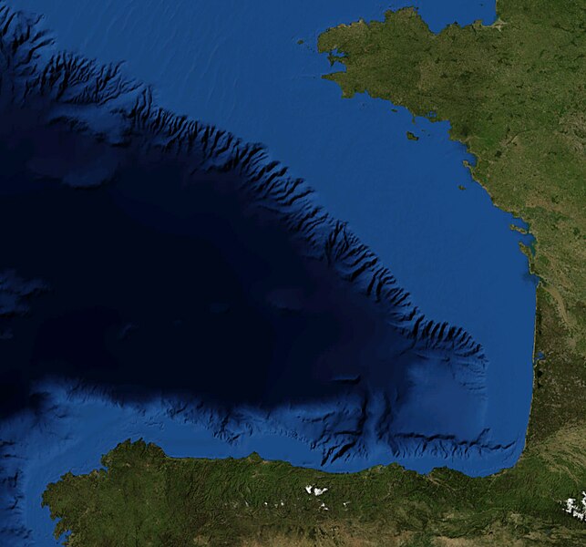
Español: Foto satelital del Golfo de Vizcaya
English: Satellite Picture of the Bay of Biscay |
|||
| تریخ | ||||
| سروت | Satellite pictures, from NASA World Wind Globe, version 1.4 | |||
| لکھاری | Serg!o | |||
| اجازت (فائل نوں دوبارہ ورتنا) |
|

فائل دی تریخ
فائل نو اس ویلے دی حالت وچ ویکھن واسطے تاریخ/ویلے تے کلک کرو۔
| تریخ تے ویلہ | نکی مورت | پاسے | ورتن والا | تیپّݨی کرو | |
|---|---|---|---|---|---|
| موجودہ | ۱۷:۰۸, ۲۲ جون ۲۰۱۰ | | ۱,۰۶۰ × ۹۸۹ (۲۰۵ کلوبائٹ) | Serg!o | {{Information |Description={{es|Foto satelital del es:Golfo de Vizcaya}} {{en|Satellite Picture of the en:Bay of Biscay}} |Source=Satellite pictures, from NASA World Wind Globe, version 1.4 |Date=22-07-2010 |Author=Serg!o |Permis |
فائل دی ورتوں
اس فائل نال جڑیا کوئی صفحہ نئیں۔
فائل ویاپک ورتوں
ایہہ دوجے وکیاں ایس فائل نوں ورتدے نیں –
- es.wikipedia.org تے ورتوں
- eu.wikipedia.org تے ورتوں
- pl.wiktionary.org تے ورتوں
- ur.wikipedia.org تے ورتوں