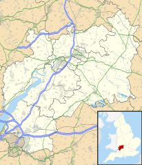
فائل:Gloucestershire UK location map.svg

Size of this PNG preview of this SVG file: ۵۱۶ × ۶۰۰ پکسلز. دوجے ریزولوشنز: ۲۰۶ × ۲۴۰ پکسلز | ۴۱۳ × ۴۸۰ پکسلز | ۶۶۱ × ۷۶۸ پکسلز | ۸۸۱ × ۱,۰۲۴ پکسلز | ۱,۷۶۲ × ۲,۰۴۸ پکسلز | ۱,۰۸۹ × ۱,۲۶۶ پکسلز ۔
اصل فائل (ایس وی جی فائل، پکسل:۱,۰۸۹ × ۱,۲۶۶، فائل سائز: ۲.۲۷ میگابائٹ)
| تفصیل |
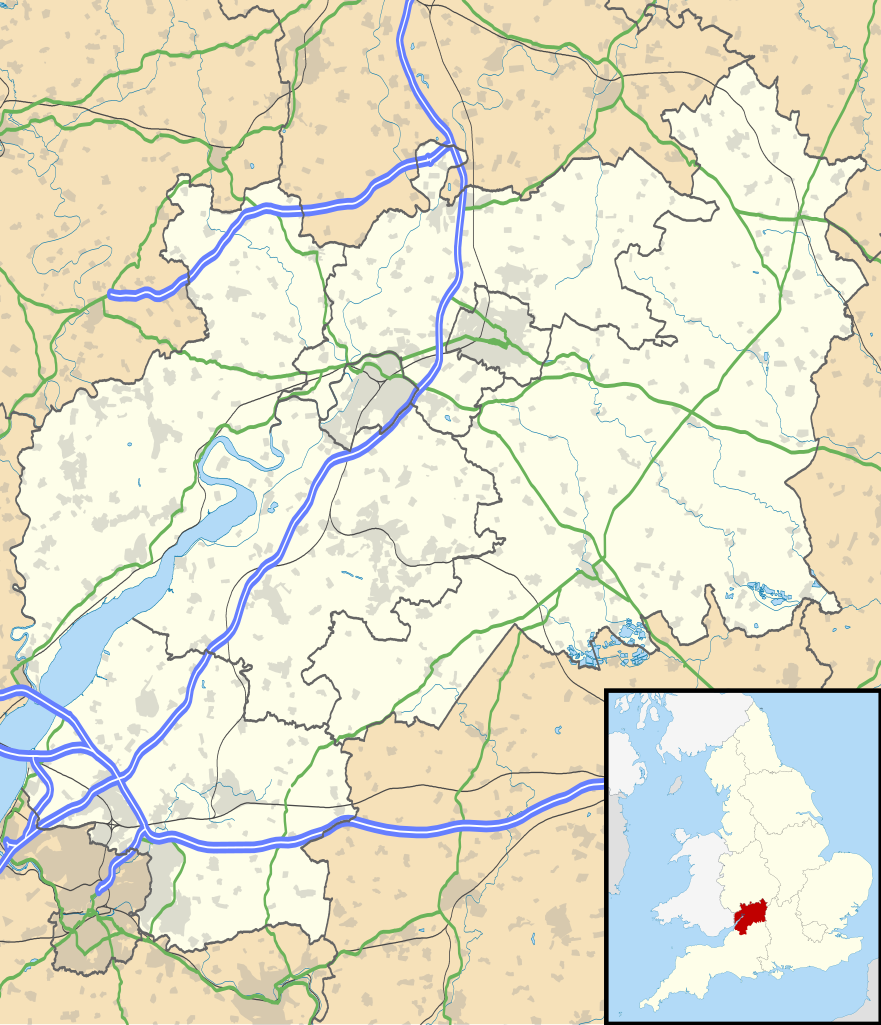
Map of Gloucestershire, UK with the following information shown:
Equirectangular map projection on WGS 84 datum, with N/S stretched 160% Geographic limits:
|
| تریخ | |
| سروت |
|
| لکھاری | Nilfanion, created using Ordnance Survey data |
| اجازت (فائل نوں دوبارہ ورتنا) |
ایس فائل نوں کریٹو کامنز Attribution 2.5 پولینڈ لائسنس دتا گیا. کس دے ناں: Contains Ordnance Survey data © Crown copyright and database right
|
| دوجے ورژن | File:Gloucestershire UK district map (blank).svg - Blank map |
.svg)
فائل دی تریخ
فائل نو اس ویلے دی حالت وچ ویکھن واسطے تاریخ/ویلے تے کلک کرو۔
| تریخ تے ویلہ | نکی مورت | پاسے | ورتن والا | تیپّݨی کرو | |
|---|---|---|---|---|---|
| موجودہ | ۲۳:۵۳, ۲۶ ستمبر ۲۰۱۰ | | ۱,۰۸۹ × ۱,۲۶۶ (۲.۲۷ میگابائٹ) | Nilfanion | {{Information |Description=Map of Gloucestershire, UK with the following information shown: *Administrative borders *Coastline, lakes and rivers *Roads and railways *Urban areas Equirectangular map projection on WGS 84 datum, with N |
فائل دی ورتوں
تھلے دتے گئے 1 صفحے اس فائل نال جُڑدے نیں
فائل ویاپک ورتوں
ایہہ دوجے وکیاں ایس فائل نوں ورتدے نیں –
- ar.wikipedia.org تے ورتوں
- bg.wikipedia.org تے ورتوں
- bn.wikipedia.org تے ورتوں
- ceb.wikipedia.org تے ورتوں
- en.wikipedia.org تے ورتوں
- Stow-on-the-Wold
- Deerhurst
- Thornbury, Gloucestershire
- WWT Slimbridge
- Dymock
- Bradley Stoke
- Dursley
- Cirencester
- Chedworth
- Kempley
- Yate
- Tewkesbury
- Stroud
- Moreton-in-Marsh
- Chipping Campden
- Lechlade
- Painswick
- Winchcombe
- Winterbourne, Gloucestershire
- Cinderford
- Lydney
- Berkeley, Gloucestershire
- Berkeley Castle
- Kingswood, South Gloucestershire
- RAF Fairford
- Newent
- Nailsworth
- Wotton-under-Edge
- North Nibley
- Charfield
ایس فائل دا ویکھو ہور جگت ورتن .