فائل:Blank map of Afghanistan districts.svg

Size of this PNG preview of this SVG file: ۸۰۰ × ۵۸۹ پکسلز. دوجے ریزولوشنز: ۳۲۰ × ۲۳۶ پکسلز | ۶۴۰ × ۴۷۱ پکسلز | ۱,۰۲۴ × ۷۵۴ پکسلز | ۱,۲۸۰ × ۹۴۲ پکسلز | ۲,۵۶۰ × ۱,۸۸۵ پکسلز | ۹۱۰ × ۶۷۰ پکسلز ۔
اصل فائل (ایس وی جی فائل، پکسل:۹۱۰ × ۶۷۰، فائل سائز: ۷۰۰ کلوبائٹ)
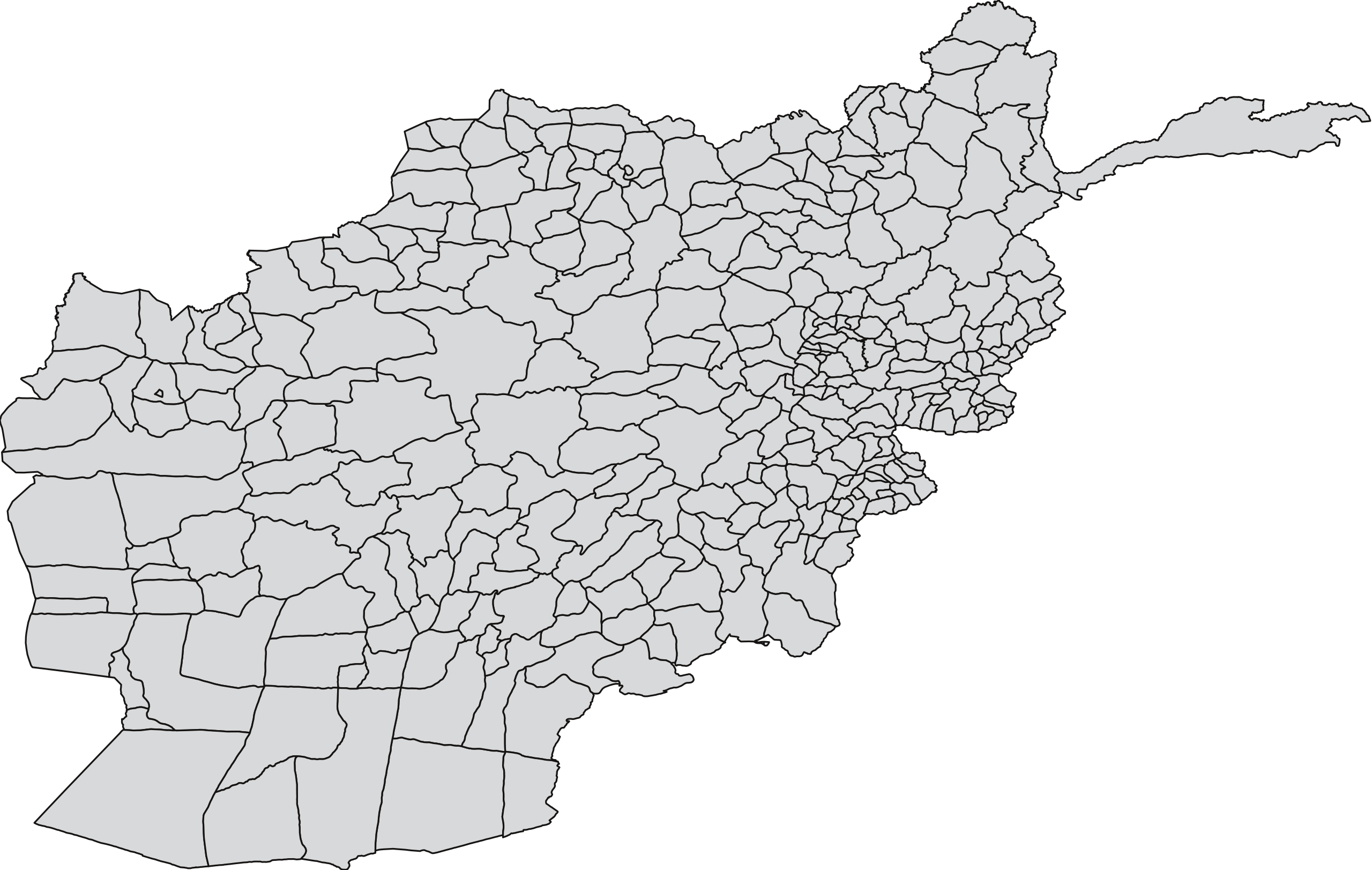
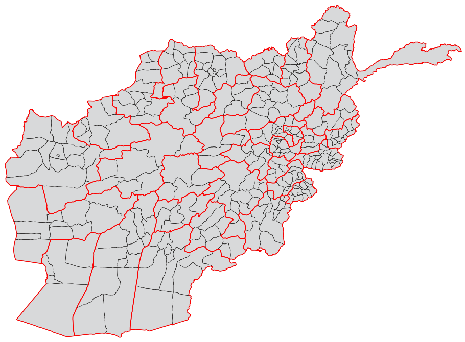
| تفصیل | A blank map of the districts of Afghanistan. The districts are grouped by province and province borders are shown in red. | |||||
| تریخ | ||||||
| سروت |
Map originally from Maplibrary.org who in turn have extracted it from GADM version 0.9 which source the data for Afghanistan as comming from the USGS.
|
|||||
| لکھاری | USGS and Lokal_Profil | |||||
| اجازت (فائل نوں دوبارہ ورتنا) |
|
|||||
| دوجے ورژن |
|


فائل دی تریخ
فائل نو اس ویلے دی حالت وچ ویکھن واسطے تاریخ/ویلے تے کلک کرو۔
| تریخ تے ویلہ | نکی مورت | پاسے | ورتن والا | تیپّݨی کرو | |
|---|---|---|---|---|---|
| موجودہ | ۱۳:۵۵, ۲۱ اکتوبر ۲۰۱۸ | | ۹۱۰ × ۶۷۰ (۷۰۰ کلوبائٹ) | Furfur | Map looked a liitle bit distorted – adjusted it to match Afghanistan_location_map.svg |
| ۰۰:۵۴, ۲ مارچ ۲۰۰۹ |  | ۷۵۰ × ۴۷۵ (۲.۵۷ میگابائٹ) | Lokal Profil | Added province info | |
| ۰۰:۴۵, ۲۶ فروری ۲۰۰۹ |  | ۷۵۰ × ۴۷۵ (۱.۶۸ میگابائٹ) | Lokal Profil | {{Information |Description=A blank map of the districts of Afghanistan. |Source=Map originally from [http://www.maplibrary.org/stacks/gadm/AFG/index.php Maplibrary.org] who in turn have extracted it from [http://biogeo.berkeley.edu/gadm/ GADM version 0.9] |
فائل دی ورتوں
تھلے دتے گئے 36 صفحے اس فائل نال جُڑدے نیں
- افغانستان دے ضلعے
- ضلع آب بند
- ضلع آرغنج خواہ
- ضلع آرگو
- ضلع آقچہ
- ضلع اجرستان
- ضلع ادرسکن
- ضلع ارغستان
- ضلع ارغنداب
- ضلع ارچی
- ضلع اسد آباد
- ضلع اسمار
- ضلع اشکاشیم
- ضلع اشکمش
- ضلع المار
- ضلع الہ ساری
- ضلع انار درہ
- ضلع انجیل
- ضلع اندخوی
- ضلع اندر
- ضلع اندراب
- ضلع اوبہ
- ضلع ایبک
- ضلع باغران
- ضلع بالا بلوک
- ضلع بامیان
- ضلع باک
- ضلع باکواہ
- ضلع برک متال
- ضلع برکنر
- ضلع برکہ
- ضلع برگ متال
- ضلع بزارک
- ضلع بغلان جدید
- ضلع بلخ
- ضلع بنگی
فائل ویاپک ورتوں
ایہہ دوجے وکیاں ایس فائل نوں ورتدے نیں –
- ar.wikipedia.org تے ورتوں
- bn.wikipedia.org تے ورتوں
- ca.wikipedia.org تے ورتوں
- de.wikipedia.org تے ورتوں
- es.wikipedia.org تے ورتوں
- fa.wikipedia.org تے ورتوں
- fr.wikipedia.org تے ورتوں
- id.wikipedia.org تے ورتوں
- it.wikipedia.org تے ورتوں
- ja.wikipedia.org تے ورتوں
- ms.wikipedia.org تے ورتوں
- new.wikipedia.org تے ورتوں
- no.wikipedia.org تے ورتوں
- oc.wikipedia.org تے ورتوں
- ps.wikipedia.org تے ورتوں
- pt.wikipedia.org تے ورتوں
- sr.wikipedia.org تے ورتوں
- su.wikipedia.org تے ورتوں
- tr.wikipedia.org تے ورتوں
- ur.wikipedia.org تے ورتوں
- uz.wikipedia.org تے ورتوں
- www.wikidata.org تے ورتوں
- zh.wikipedia.org تے ورتوں