فائل:Adıyaman districts.png
اصل فائل (۱,۰۵۶ × ۸۱۶ پکسلز, فائل حجم: ۲۰ کلوبائٹ, MIME type: image/png)

|
This map has been uploaded by Electionworld from en.wikipedia.org to enable the |
خلاصہ
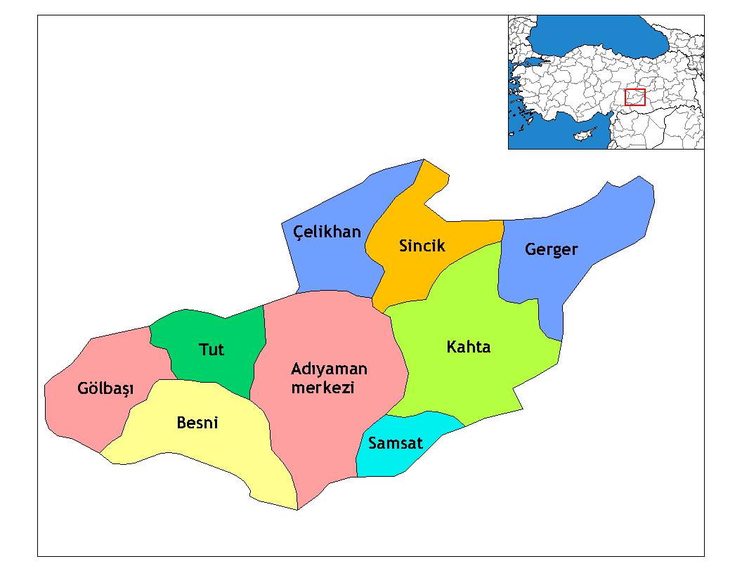
Map of the districts of Adıyaman province in Turkey. Created by Rarelibra 22:15, 13 November 2006 (UTC) for public domain use, using MapInfo Professional v8.5 and various mapping resources. Edited by One Homo Sapiens Corrected text where İ,Ş,ı,ğ,or ş occurs in name. Source: [statoids-com]. Increased font size and enhanced color differences among adjacent districts.

|
This locator map image could be re-created using vector graphics as an SVG file. This has several advantages; see Commons:Media for cleanup for more information. If an SVG form of this image is available, please upload it and afterwards replace this template with
{{vector version available|new image name}}.
It is recommended to name the SVG file “Adıyaman districts.svg”—then the template Vector version available (or Vva) does not need the new image name parameter. |
لائسنس –
| اس کم نوں لوکاں لئی ایدے لکھاریRarelibra نے دے دتا اے، اے سارے جگ واسطے لاگو اے۔ کج ملکاں چ قانونی طور تے اے ممکن نئیں اے؛ اگر انج ای اے ے: |
Renamed by Denizz
فائل دی تریخ
فائل نو اس ویلے دی حالت وچ ویکھن واسطے تاریخ/ویلے تے کلک کرو۔
| تریخ تے ویلہ | نکی مورت | پاسے | ورتن والا | تیپّݨی کرو | |
|---|---|---|---|---|---|
| موجودہ | ۰۰:۵۴, ۲۹ دسمبر ۲۰۰۸ | | ۱,۰۵۶ × ۸۱۶ (۲۰ کلوبائٹ) | One Homo Sapiens | Corrected text where İ,Ş,ı,ğ,or ş occurs in name. Source: [statoids-com]. Increased font size and enhanced color differences among adjacent districts. |
| ۱۰:۱۴, ۳۱ مارچ ۲۰۰۷ |  | ۱,۰۵۶ × ۸۱۶ (۲۵ کلوبائٹ) | Denizz~commonswiki | {{ew|en|Rarelibra}} == Summary == Map of the districts of Adana province in Turkey. Created by Rarelibra 22:15, 13 November 2006 (UTC) for public domain use, using MapInfo Professional v8.5 and various mapping resources. == Licensing = |
فائل دی ورتوں
تھلے دتے گئے 11 صفحے اس فائل نال جُڑدے نیں
فائل ویاپک ورتوں
ایہہ دوجے وکیاں ایس فائل نوں ورتدے نیں –
- ast.wikipedia.org تے ورتوں
- azb.wikipedia.org تے ورتوں
- az.wikipedia.org تے ورتوں
- bn.wikipedia.org تے ورتوں
- br.wikipedia.org تے ورتوں
- ca.wikipedia.org تے ورتوں
- cs.wikipedia.org تے ورتوں
- de.wikipedia.org تے ورتوں
- diq.wikipedia.org تے ورتوں
- Aldûş
- Eskiköy
- Sarıyaprak
- Üçgöz
- Akpınar, Bêsni
- Aktepe
- Akyazı, Bêsni
- Alıçlı
- Alişar
- Aşağıçöplü
- Aşağısöğütlü
- Başlı
- Bereketli
- Beşkoz
- Çaykaya
- Çamuşçu
- Çamlıca
- Burunçayır
- Boncuk
- Beşyol
- Karagüveç
- Kuzevleri
- Oyratlı
- Tokar
- Qezê Tırkiya
- Çilboğaz, Bêsni
- Geçitli, Bêsni
- Kızılin, Bêsni
- Yelbastı, Bêsni
- Uzunkuyu, Bêsni
- Konuklu, Bêsni
ایس فائل دا ویکھو ہور جگت ورتن .