فائل:South Africa districts 2011 blank.svg

Size of this PNG preview of this SVG file: ۶۸۴ × ۵۹۹ پکسلز. دوجے ریزولوشنز: ۲۷۴ × ۲۴۰ پکسلز | ۵۴۸ × ۴۸۰ پکسلز | ۸۷۶ × ۷۶۸ پکسلز | ۱,۱۶۸ × ۱,۰۲۴ پکسلز | ۲,۳۳۷ × ۲,۰۴۸ پکسلز | ۸۰۹ × ۷۰۹ پکسلز ۔
اصل فائل (ایس وی جی فائل، پکسل:۸۰۹ × ۷۰۹، فائل سائز: ۷۳۳ کلوبائٹ)
W3C-validity not checked.
خلاصہ
| تفصیل |
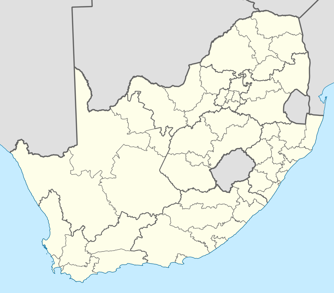
English: Map showing the borders of the districts of South Africa at the time of the 2011 local elections. |
| تریخ | |
| سروت | Own work, based on official district boundary data from the Municipal Demarcation Board. |
| لکھاری | Htonl |
| دوجے ورژن | File:South Africa districts 2006 blank.svg, File:South Africa districts 2009 blank.svg |
لائسنس –
| میں، اس کم دے کاپیرائٹ دا مالک، اس کم نوں لوکاں واسطے دیندا واں۔ اے سارے جگ واسطے لاگو اے۔ کج ملکاں چ قانونی طور تے اے ممکن نئیں اے؛ اگر انج ای اے ے: میں ہر کسے نوں اس کم نوں کسے وی مقصد واسطے ورتن دا بغیر کسے شرط دے حق دیندا واں، اگر اوہ قانون دے خلاف نا ہوۓ۔ |
فائل دی تریخ
فائل نو اس ویلے دی حالت وچ ویکھن واسطے تاریخ/ویلے تے کلک کرو۔
| تریخ تے ویلہ | نکی مورت | پاسے | ورتن والا | تیپّݨی کرو | |
|---|---|---|---|---|---|
| موجودہ | ۰۱:۱۰, ۲۵ اپریل ۲۰۱۱ | | ۸۰۹ × ۷۰۹ (۷۳۳ کلوبائٹ) | Htonl | {{Valid SVG}} == {{int:filedesc}} == {{Information |Description={{en|1=Map showing the borders of the districts of South Africa at the time of the 2011 local elections.}} |Source=Own work, based on official district boundary data from the [[w:Municipal De |
فائل دی ورتوں
اس فائل نال جڑیا کوئی صفحہ نئیں۔