فائل:Map of Texas highlighting Calhoun County.svg

Size of this PNG preview of this SVG file: ۶۳۱ × ۶۰۰ پکسلز. دوجے ریزولوشنز: ۲۵۳ × ۲۴۰ پکسلز | ۵۰۵ × ۴۸۰ پکسلز | ۸۰۸ × ۷۶۸ پکسلز | ۱,۰۷۷ × ۱,۰۲۴ پکسلز | ۲,۱۵۵ × ۲,۰۴۸ پکسلز | ۱۲,۴۷۳ × ۱۱,۸۵۵ پکسلز ۔
اصل فائل (ایس وی جی فائل، پکسل:۱۲,۴۷۳ × ۱۱,۸۵۵، فائل سائز: ۳۰۴ کلوبائٹ)
خلاصہ
| تفصیل |
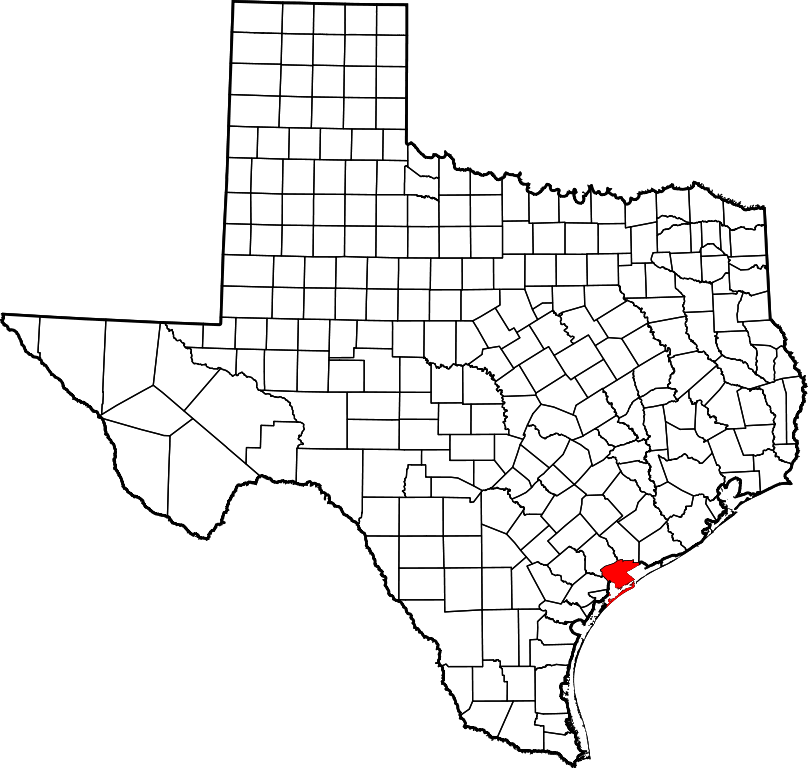
English: This is a locator map showing Calhoun County in Texas. For more information, see Commons:United States county locator maps. |
| تریخ | |
| سروت |
آپݨا کم: English: The maps use data from nationalatlas.gov, specifically countyp020.tar.gz on the Raw Data Download page. The maps also use state outline data from statesp020.tar.gz. The Florida maps use hydrogm020.tar.gz to display Lake Okeechobee. |
| لکھاری | David Benbennick |
لائسنس –
| میں، اس کم دے کاپیرائٹ دا مالک، اس کم نوں لوکاں واسطے دیندا واں۔ اے سارے جگ واسطے لاگو اے۔ کج ملکاں چ قانونی طور تے اے ممکن نئیں اے؛ اگر انج ای اے ے: میں ہر کسے نوں اس کم نوں کسے وی مقصد واسطے ورتن دا بغیر کسے شرط دے حق دیندا واں، اگر اوہ قانون دے خلاف نا ہوۓ۔ |
فائل دی تریخ
فائل نو اس ویلے دی حالت وچ ویکھن واسطے تاریخ/ویلے تے کلک کرو۔
| تریخ تے ویلہ | نکی مورت | پاسے | ورتن والا | تیپّݨی کرو | |
|---|---|---|---|---|---|
| موجودہ | ۲۱:۴۲, ۱۲ فروری ۲۰۰۶ | | ۱۲,۴۷۳ × ۱۱,۸۵۵ (۳۰۴ کلوبائٹ) | David Benbennick | {{subst:User:Dbenbenn/clm|county=Calhoun County|state=Texas|type=county}} |
فائل دی ورتوں
تھلے دتے گئے 1 صفحے اس فائل نال جُڑدے نیں
فائل ویاپک ورتوں
ایہہ دوجے وکیاں ایس فائل نوں ورتدے نیں –
- ar.wikipedia.org تے ورتوں
- azb.wikipedia.org تے ورتوں
- be.wikipedia.org تے ورتوں
- bg.wikipedia.org تے ورتوں
- bpy.wikipedia.org تے ورتوں
- cdo.wikipedia.org تے ورتوں
- ceb.wikipedia.org تے ورتوں
- cs.wikipedia.org تے ورتوں
- cy.wikipedia.org تے ورتوں
- de.wikipedia.org تے ورتوں
- en.wikipedia.org تے ورتوں
- List of counties in Texas
- Calhoun County, Texas
- Point Comfort, Texas
- Port Lavaca, Texas
- Seadrift, Texas
- Indianola, Texas
- Port O'Connor, Texas
- Long Mott, Texas
- Template:Calhoun County, Texas
- Category:Wikipedia requested photographs in Calhoun County, Texas
- Cedar Bayou
- User:Nyttend/County templates/TX/1
- Magnolia Beach, Texas
- Alamo Beach, Texas
- Template:CalhounCountyTX-geo-stub
- Category:Populated places in Calhoun County, Texas
- Matagorda Island Light
- National Register of Historic Places listings in Calhoun County, Texas
- Dewberry Island
- Placedo Creek
- Kuy Creek
- List of census-designated places in Texas
- Olivia, Texas
- Port Alto, Texas
- Schicke Point, Texas
- eo.wikipedia.org تے ورتوں
- es.wikipedia.org تے ورتوں
- et.wikipedia.org تے ورتوں
- eu.wikipedia.org تے ورتوں
- fa.wikipedia.org تے ورتوں
- fi.wikipedia.org تے ورتوں
- fr.wikipedia.org تے ورتوں
ایس فائل دا ویکھو ہور جگت ورتن .