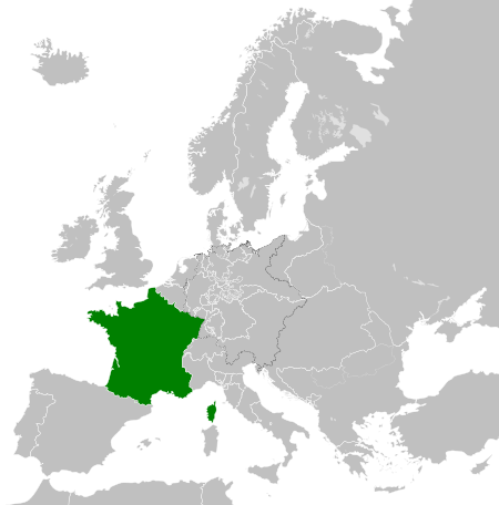
فائل:French Kingdom within Europe 1839.svg

Size of this PNG preview of this SVG file: ۴۵۰ × ۴۵۶ پکسلز. دوجے ریزولوشنز: ۲۳۷ × ۲۴۰ پکسلز | ۴۷۴ × ۴۸۰ پکسلز | ۷۵۸ × ۷۶۸ پکسلز | ۱,۰۱۱ × ۱,۰۲۴ پکسلز | ۲,۰۲۱ × ۲,۰۴۸ پکسلز ۔
اصل فائل (ایس وی جی فائل، پکسل:۴۵۰ × ۴۵۶، فائل سائز: ۸۰۶ کلوبائٹ)
خلاصہ


.svg)
.svg)
.svg)
.svg)
.svg)


.svg)
.svg)
.svg)


.png)
.png)


.svg)


.svg)

.svg)


.svg)
.svg)
.svg)
.svg)


.svg)
.png)


.svg)


.svg)
.svg)


.svg)


.svg)


.svg)
.svg)
.svg)
.svg)
.svg)
.svg)
.svg)
_cropped.svg)
.svg)
.svg)
.svg)
.svg)
.svg)
.svg)
.svg)
.svg)
.svg)
.svg)
.svg)
.svg)
.svg)
.svg)
.svg)
.svg)
.svg)
.svg)
.svg)
.svg)
.svg)
.svg)
.svg)
.svg)
.svg)
.svg)
.svg)
.svg)
.svg)
.svg)
.svg)
.svg)
.svg)
.svg)
.svg)
.svg)
.svg)
.svg)
.svg)
.svg)
.svg)
.svg)
.svg)
.svg)
.svg)
لائسنس –
میں، اس کم دے کاپیرائٹ دا مالک، اس کم نوں اس لائسنس دے مطابق چھاپدا واں:
This file is licensed under the Creative Commons Attribution-Share Alike 4.0 International license.
- تہانوں کھلھ اے:
- حصہ کرنا – کاپی، ونڈنا تے کم بھیجنا
- فیر رلانا – کم نوں فٹ کرنا
- تھلے دتیاں شرطاں نال:
- کس دے ناں – تسیں لازمی ایس کم دے بناں والے بارے دسو جنج اونے آکھیا اے یا جنج لسنس چ آکھیا گیا ہے۔
- اکو جہا شئیر کرو۔ – اگر تسیں بدلدے یا ایس کم تے بناندے تے بنن والے کم نوں اینج دے لسنس نال ای ونڈو گے۔
فائل دی تریخ
فائل نو اس ویلے دی حالت وچ ویکھن واسطے تاریخ/ویلے تے کلک کرو۔
| تریخ تے ویلہ | نکی مورت | پاسے | ورتن والا | تیپّݨی کرو | |
|---|---|---|---|---|---|
| موجودہ | ۱۰:۳۳, ۳۱ مئی ۲۰۱۶ | | ۴۵۰ × ۴۵۶ (۸۰۶ کلوبائٹ) | Alphathon | Minor corrections (Tarasp and post-181 German Confederation border change) |
| ۱۲:۴۷, ۱۴ جولائی ۲۰۱۵ |  | ۴۵۰ × ۴۵۶ (۷۵۴ کلوبائٹ) | Elevatorrailfan | User created page with UploadWizard |
فائل دی ورتوں
تھلے دتے گئے 1 صفحے اس فائل نال جُڑدے نیں
فائل ویاپک ورتوں
ایہہ دوجے وکیاں ایس فائل نوں ورتدے نیں –
- azb.wikipedia.org تے ورتوں
- az.wikipedia.org تے ورتوں
- be.wikipedia.org تے ورتوں
- bn.wikipedia.org تے ورتوں
- ca.wikipedia.org تے ورتوں
- cs.wikipedia.org تے ورتوں
- el.wikipedia.org تے ورتوں
- en.wikipedia.org تے ورتوں
- eo.wikipedia.org تے ورتوں
- es.wikipedia.org تے ورتوں
- et.wikipedia.org تے ورتوں
- fa.wikipedia.org تے ورتوں
- fi.wikipedia.org تے ورتوں
- fr.wikipedia.org تے ورتوں
- he.wikipedia.org تے ورتوں
- hi.wikipedia.org تے ورتوں
- hr.wikipedia.org تے ورتوں
- id.wikipedia.org تے ورتوں
- is.wikipedia.org تے ورتوں
- it.wikipedia.org تے ورتوں
- ja.wikipedia.org تے ورتوں
- ka.wikipedia.org تے ورتوں
- ko.wikipedia.org تے ورتوں
- lv.wikipedia.org تے ورتوں
- mk.wikipedia.org تے ورتوں
- nl.wikipedia.org تے ورتوں
- pt.wikipedia.org تے ورتوں
- ru.wikipedia.org تے ورتوں
- simple.wikipedia.org تے ورتوں
- sl.wikipedia.org تے ورتوں
- sq.wikipedia.org تے ورتوں
- sr.wikipedia.org تے ورتوں
- th.wikipedia.org تے ورتوں
ایس فائل دا ویکھو ہور جگت ورتن .